
Click on a photo to enlarge it.
Kirsten worked out a plan for our 3 months in South West America which we haven't yet seen and she wanted to take photos of. One of
the main highlights was going to be the waterfalls at Havasupai which is just west of the Grand Canyon. Unfortunately there was a
heavy storm and so much rain in August this year that the blue pools were destroyed and it may take years to recover.
We found out about it when we were looking into staying at a hotel there as there is no road for us to drive down. It was going to
be the first thing we did. But then we had to fix our fridge first.
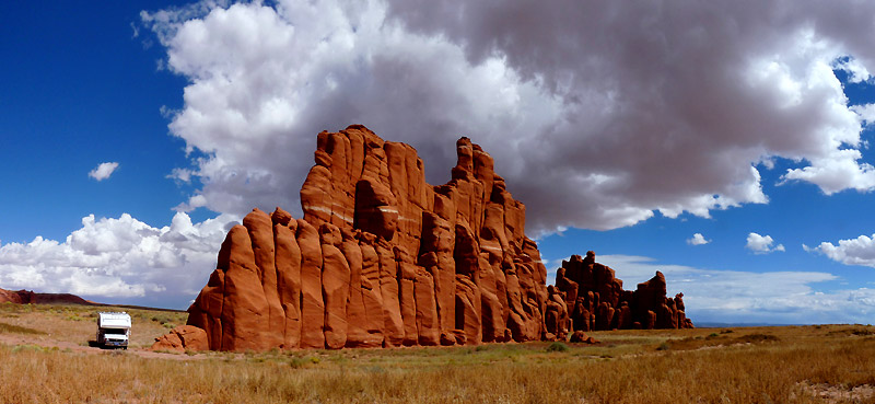
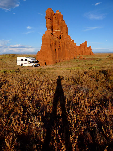
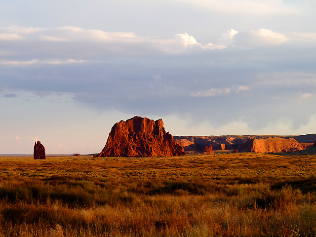
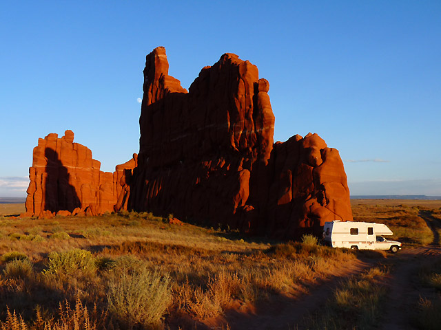
So, the next thing on the list was Hope Arch on the other side of the main road from Canyon de Chelly. We left the campground and
drove to the dirt track where it was supposed to be. The road was so bad we had to find ways of driving around the bad parts and it
took so long that we missed the sunset.
The track got so bad that it was impossible so we had to turn around - a very tight 20 point turn!! It was already dark and so we
found a place to park for the night. Only then did Kirsten get the computer out to check.
We weren't even on the right road!!! Sack the tour guide!!! This was the first place to get to seeing as Havasupai had to be
cancelled and we'd already gone wrong. Were we going to survive Kirsten's tour - more to the point was Winnie going to survive!
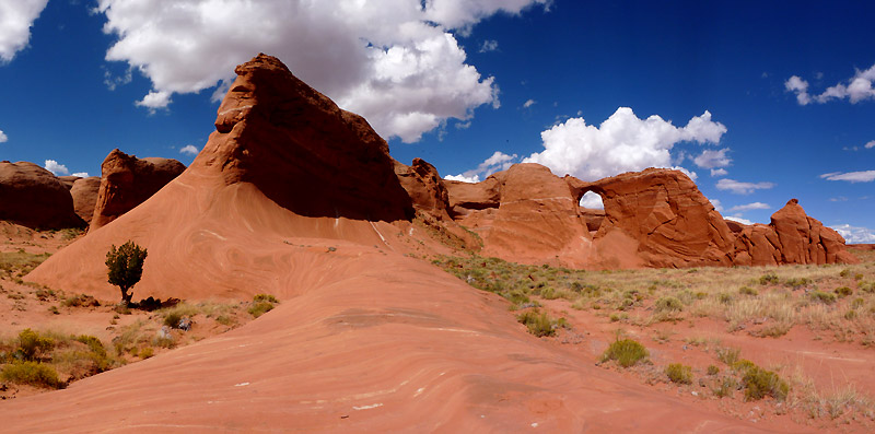
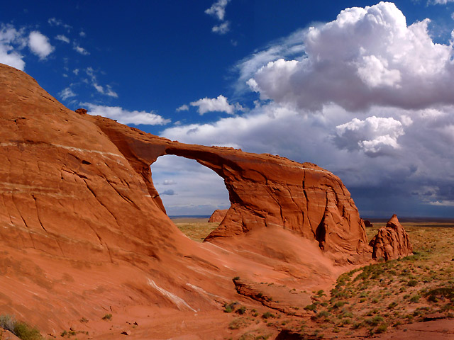
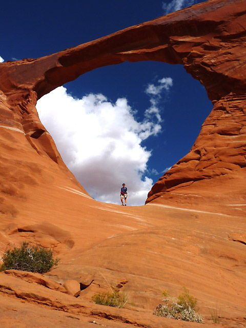
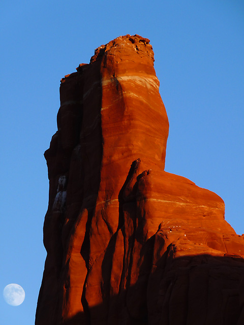
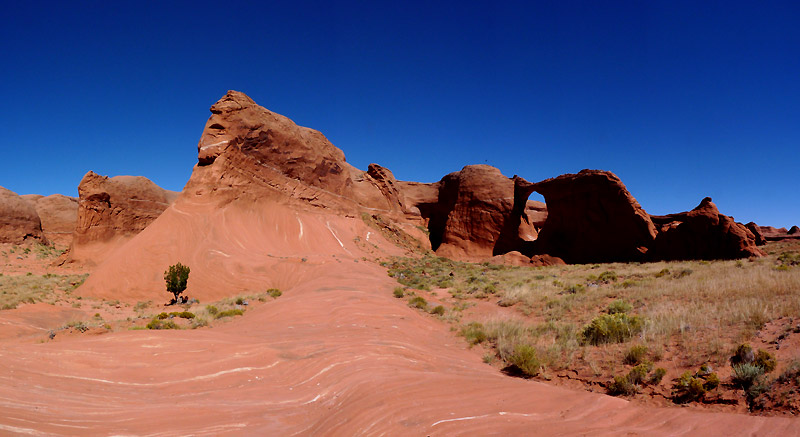
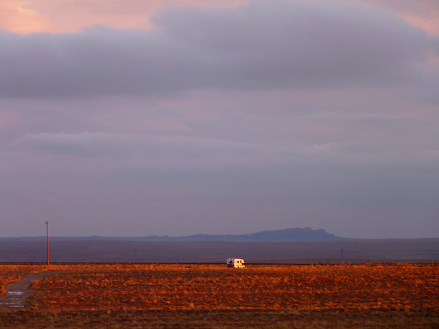
The next day we drove all the way back to the road and drove south 7 miles to find the correct road which was far better to drive
and managed to find the arch. Kirsten got her photos and then we had a sand storm and couldn't close the windows in time. It took
ages trying to clean up all the sand!
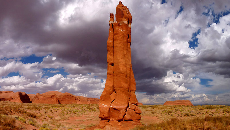
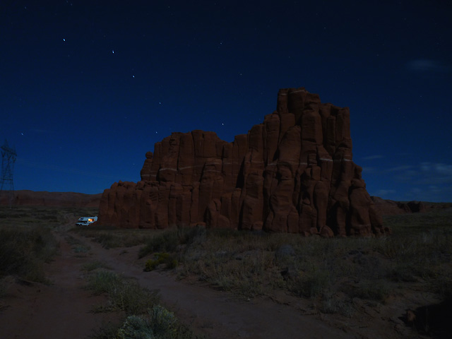
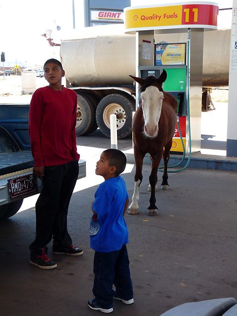
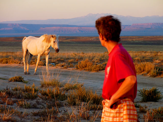
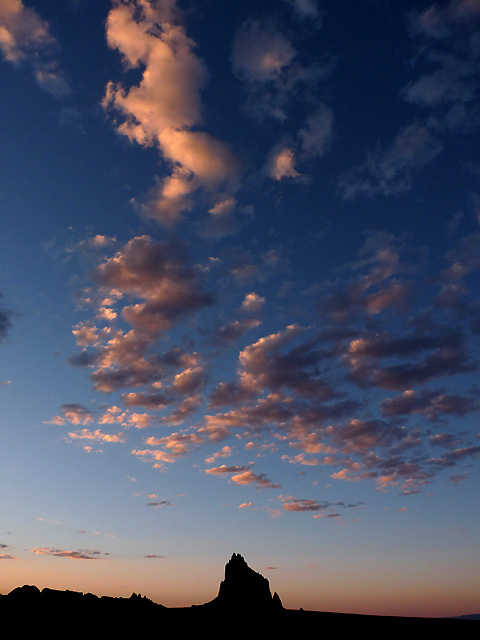
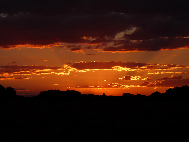
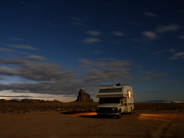
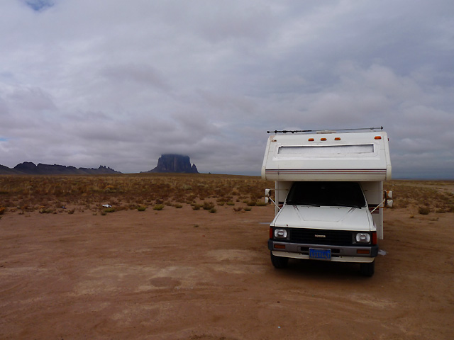
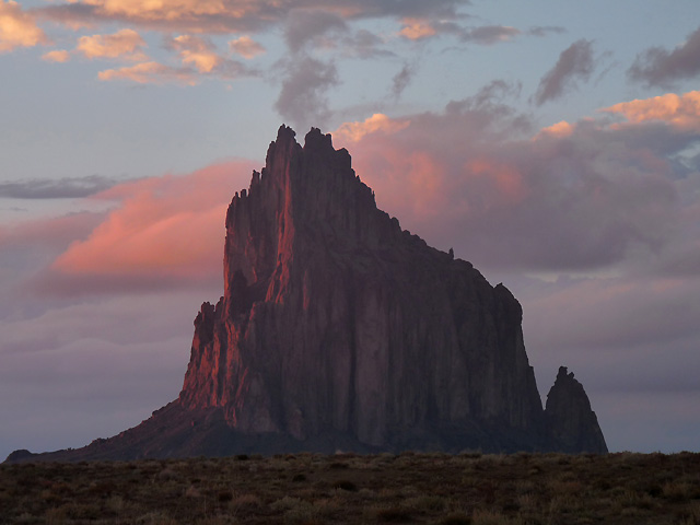
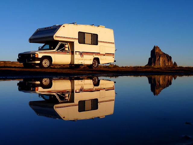
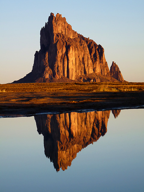
The next point was Ship Rock in New Mexico. On the way we stopped for petrol where a wild horse was standing in the shade under the
petrol station canopy! We got to Ship Rock and found a place to park where we could also get photos.
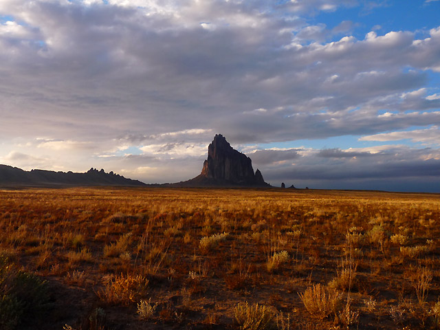
Ship Rock is a volcanic plug and sticks out of the earth seemingly in the middle of nowhere. It is rising nearly 1,583 feet (482.5 m) above the high-desert plain on
the Navajo Nation and in San Juan County, New Mexico. It's 7,177 feet (2,187.5 m) above the sea level and quite
impressive. Ship Rock is composed of fractured volcanic breccia and black dikes of igneous rock called "minette". It is the erosional remnant of the throat of a volcano,
and the volcanic breccia formed in a diatreme. The exposed rock probably was originally formed 2,500-3000 feet (750-1,000 meters) below the Earth's surface, but it was exposed after millions of years of erosion.
Wall-like sheets of minette, known as dikes, radiate away from the central formation. Radiometric age determinations of the minette establish that these volcanic rocks solidified about 27 million years ago.
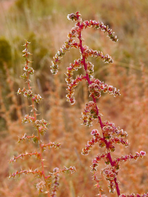
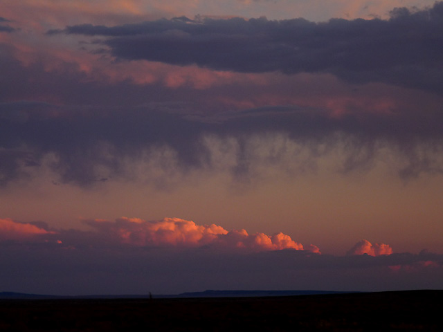
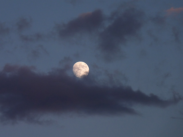
Kirsten got some great photos over the 2 nights that we stayed there. It poured with rain the next day which is why
we decided to stay and sit out the weather.