

Click on a photo to enlarge it.
At Ozette we attempted to do a loop walk to Cape Avala that went on a slippery board walk, along the beach to see petroglyphs and back along a
different trail to the car park. We only managed the board walk and part of the beach. We were thwarted by the beach which was
difficult walking along pebbles and scrambling over and under fallen trees.
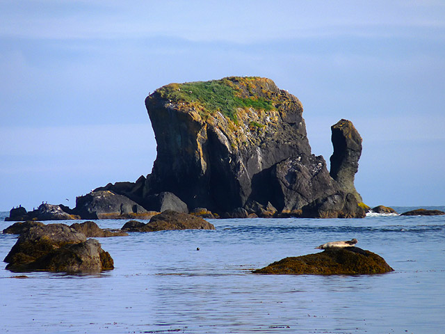
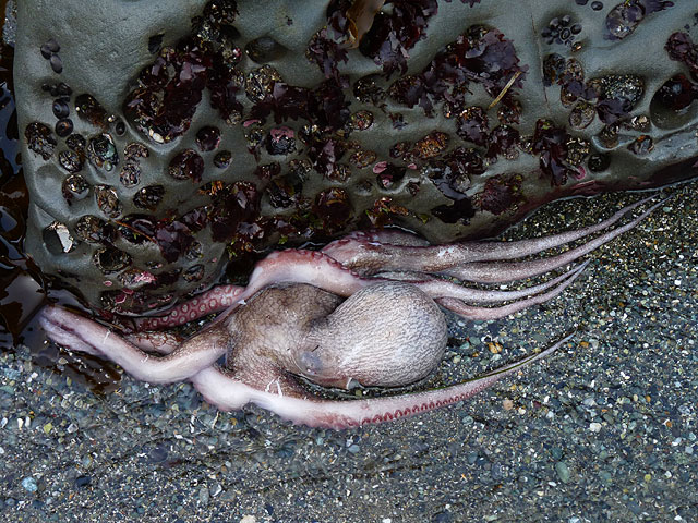
It slowed us down so much that we simply ran out of time and had to forget the petroglyphs and turn around. That meant going past
a dead and very smelly sea lion not once but twice! We still did 7 miles though.
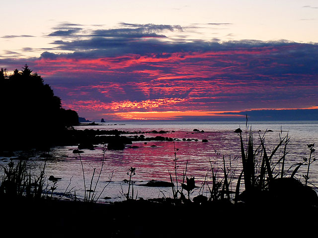
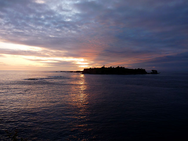
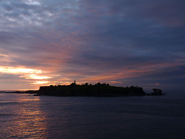
We drove back to the coastal route and a sunset over the Strait of Juan De Fuca with a very red sun. The high humidity is also causing us problems and we are getting
a lot of condensation inside the motor home. We will need to get to a drier climate soon.
Our next stop was at the far north western edge of Washington State at the Makah Reservation where we had to get a permit to enter and
drove to the parking lot for Shi Shi Beach. We set off walking at 8-15am and did approx 8 miles.
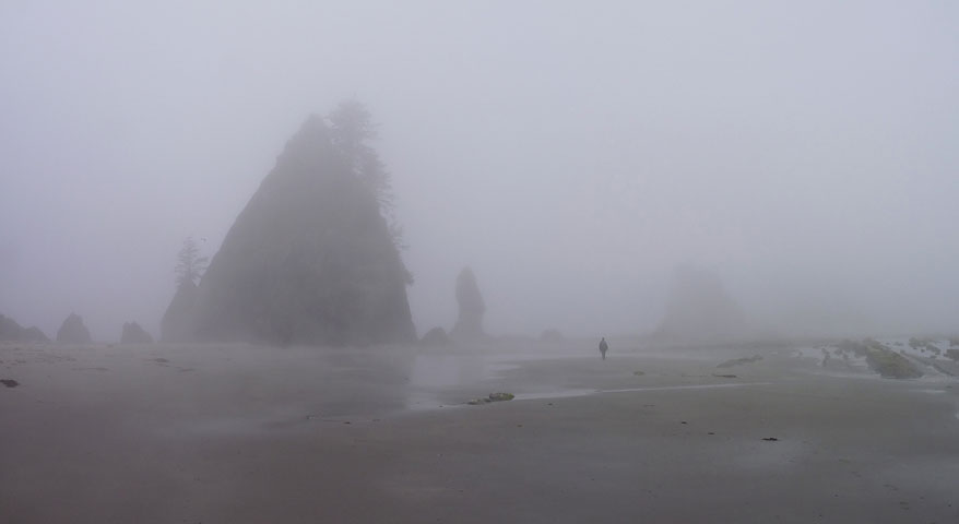
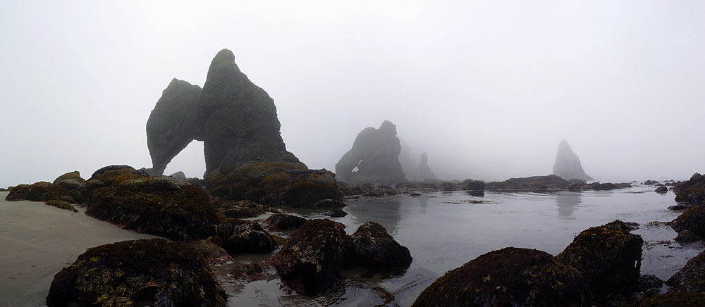
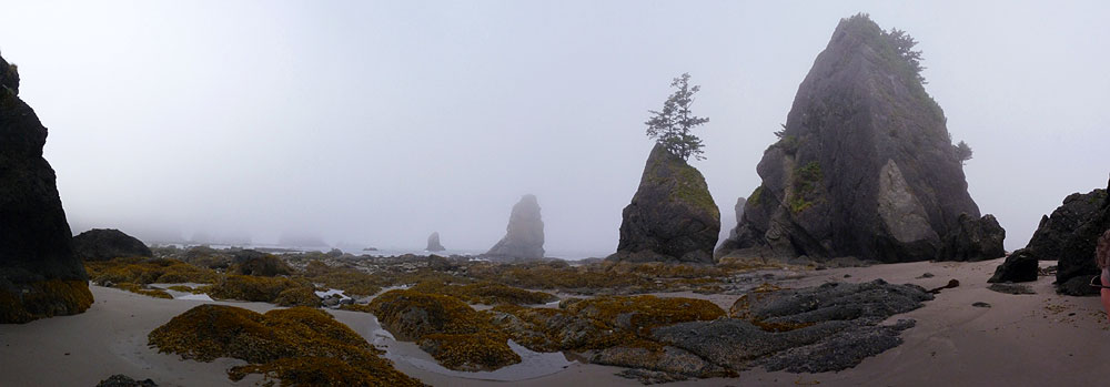
The path to the beach was quite muddy and very steep at the end, going down to the beach. When we got there it was so foggy we couldn't
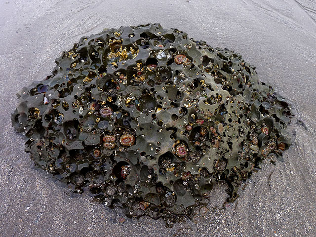
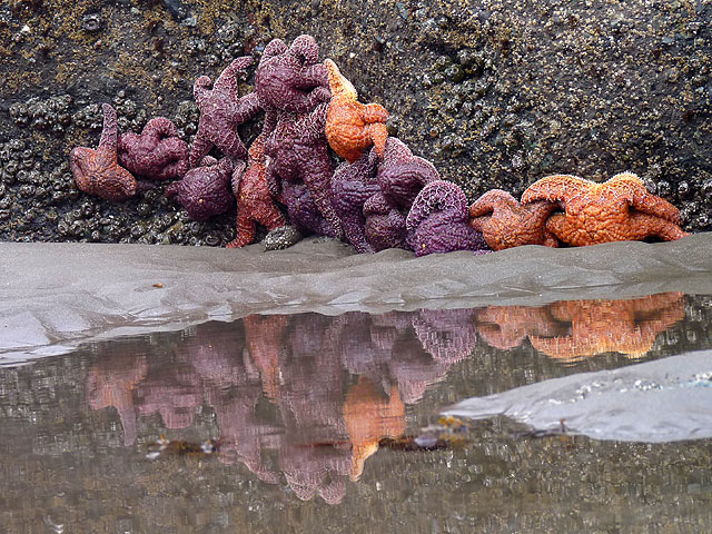
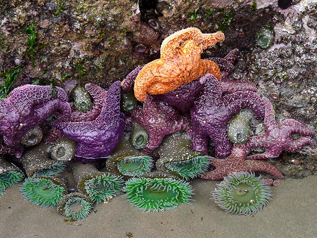
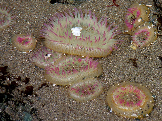
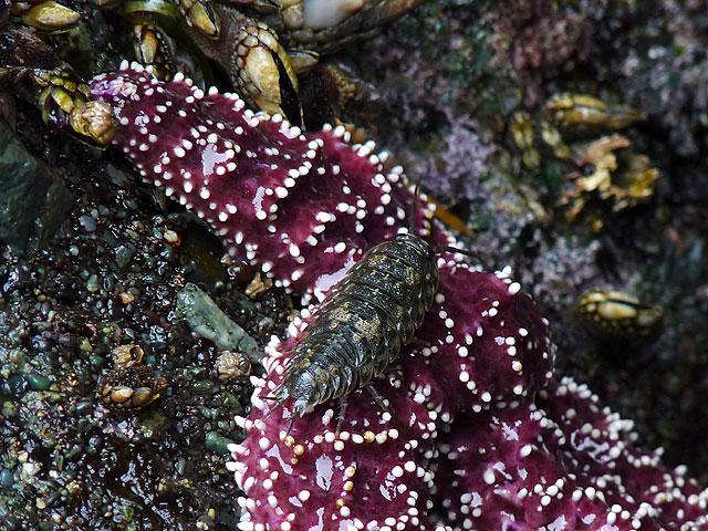
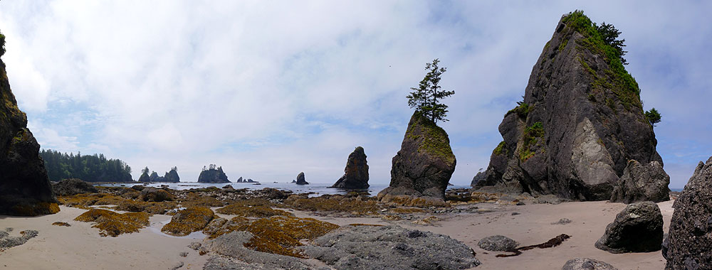
see a thing. The tidal pools were very good though. Then we wanted to go further along the beach to the Point of Arches - several
rocks going out into the sea. Except we couldn't see them and wondered several times whether we were in the right place!
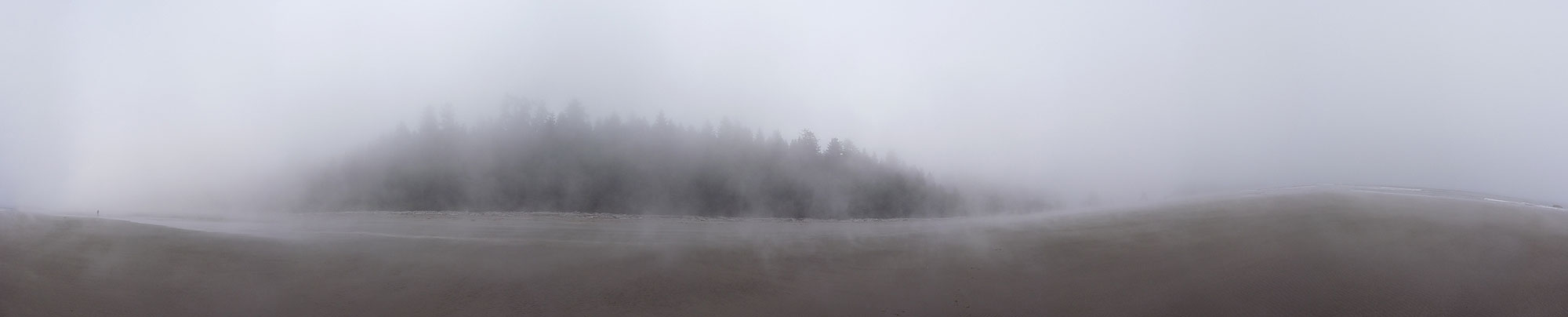 Where is the Point of Arches? - 360° Panorama(move mouse over panorama and click on the arrows)
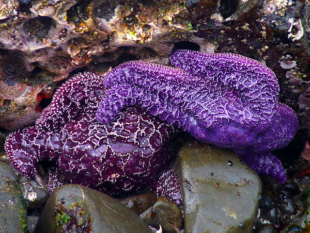
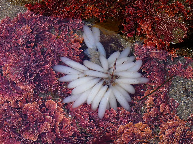
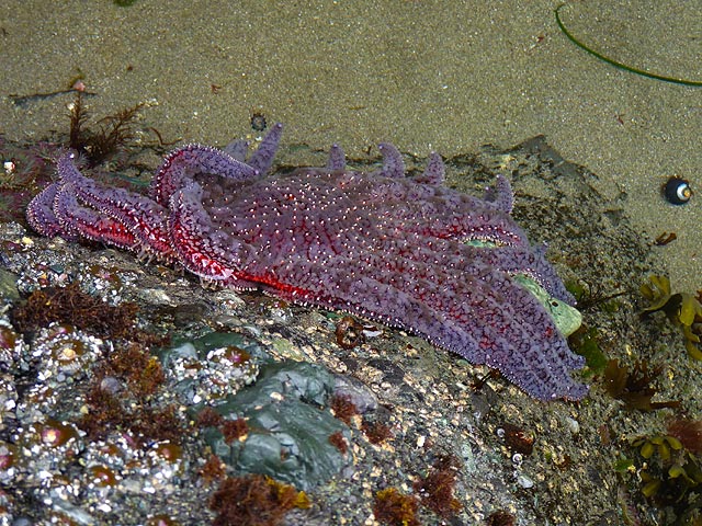
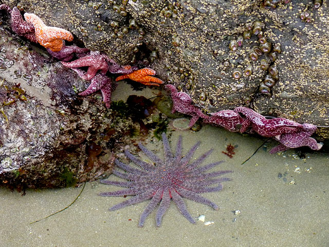
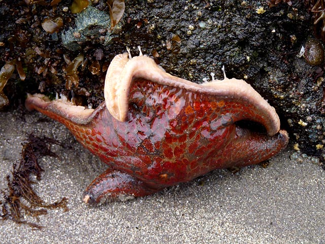
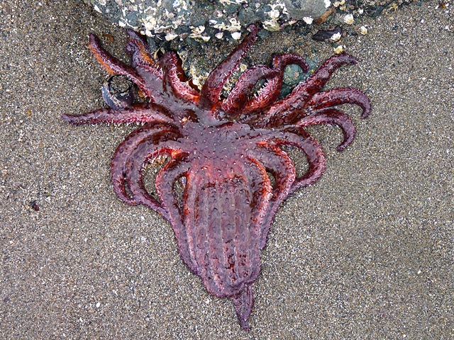
We finally got there, and at our very last tidal pools we saw our first sunflower sea star fish. It has 19 tentacles and was a really beautiful
blue with red markings. Absolutely fascinating to watch as it moved very slowly. We were really happy as it was our last chance of
being able to see one.
Sunflower star fish - Shi Shi Beach
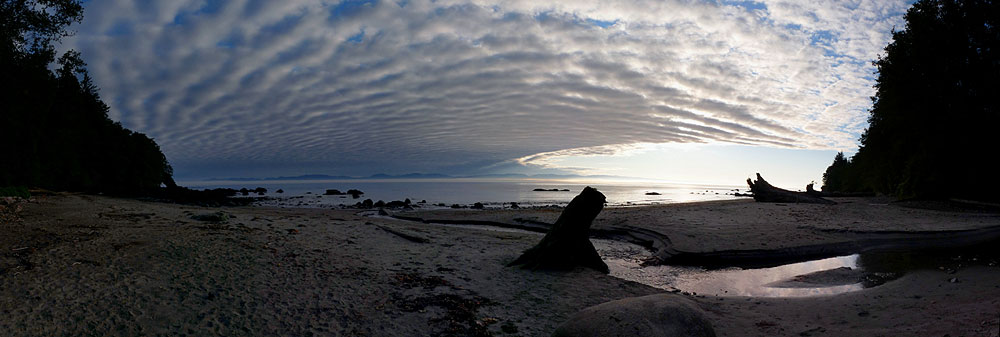
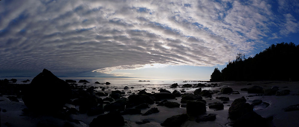
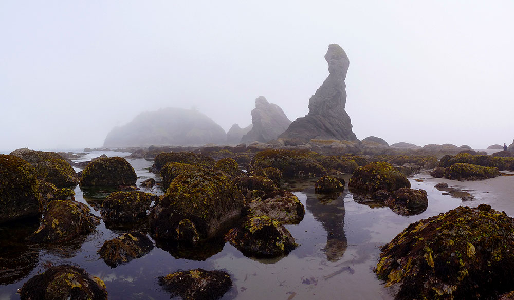
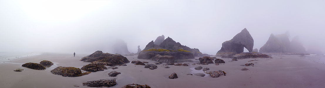
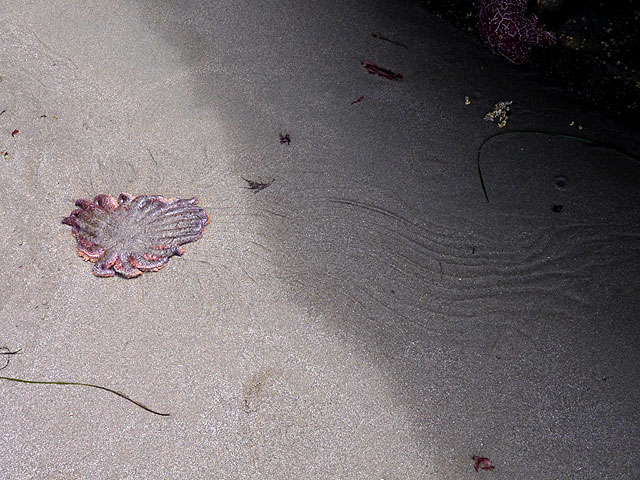
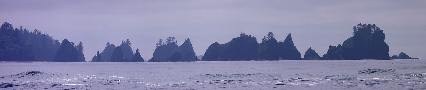
Kirsten wanted sun for the photos and we didn't think the fog was going to lift. But on the walk back, the sun came out.
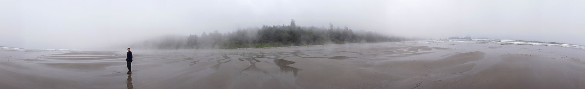 The fog is lifting a little - 360° Panorama(move mouse over panorama and click on the arrows)
So Kirsten headed back to the rocks to take photos and Helen went all the way back to the motor home to open up all the windows and doors to try
and dry us out.
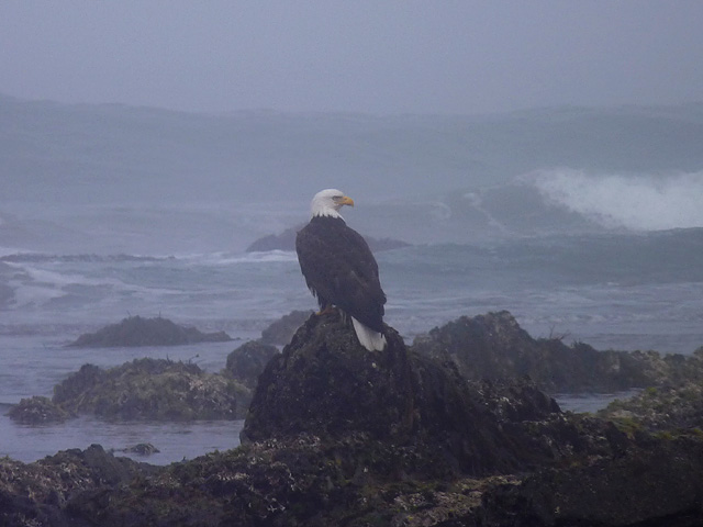
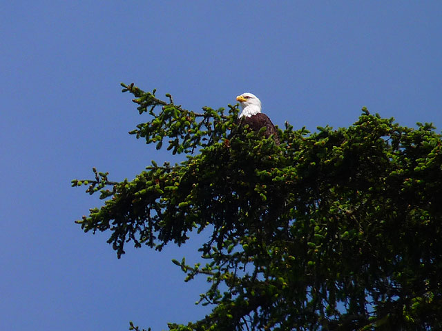
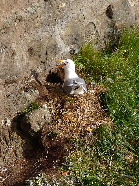
We drove up to Cape Flattery for a short walk to the north western most point of Washington State where we saw a falcon mom feeding her screeching chicks and
three bald eagles.
We left the reservation after a very long day to find somewhere to stop for the night. After listening to our weather radio we realised
that the next day was going to be the only good day for a while. So we went back to the Olympic National Park and fit as much in as possible.
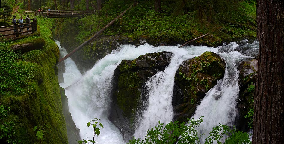
We walked to the Sol Duc waterfalls where Helen had to stand and get wet whilst Kirsten took a panorama photo - "Don't move!" Alright
for her to say seeing as she's not the one getting wet from the spray!
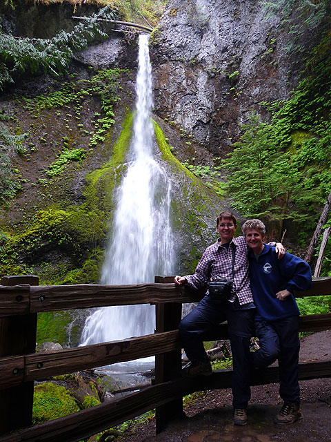
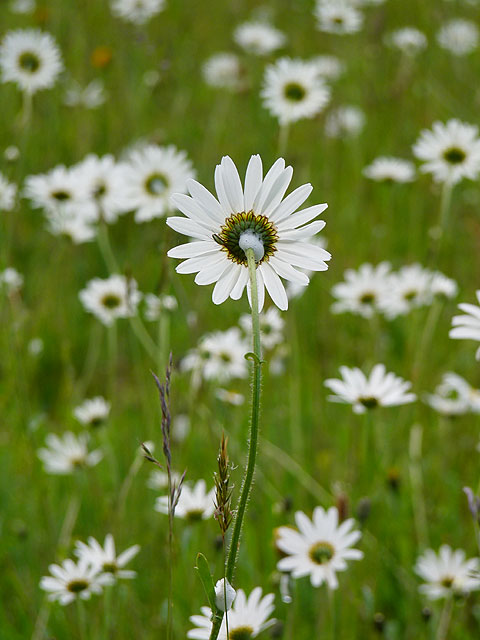
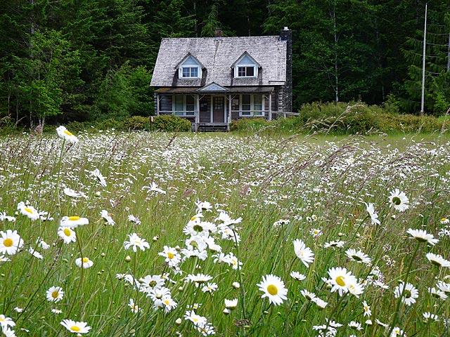
Then we walked to Marymere waterfalls where the field of wild daisies was just as much of a photo stop as the waterfall. We had a fast
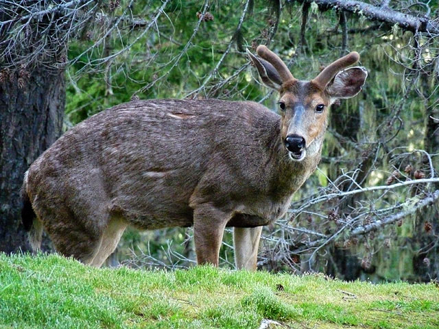
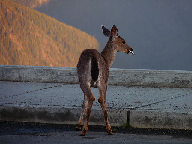
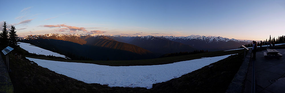
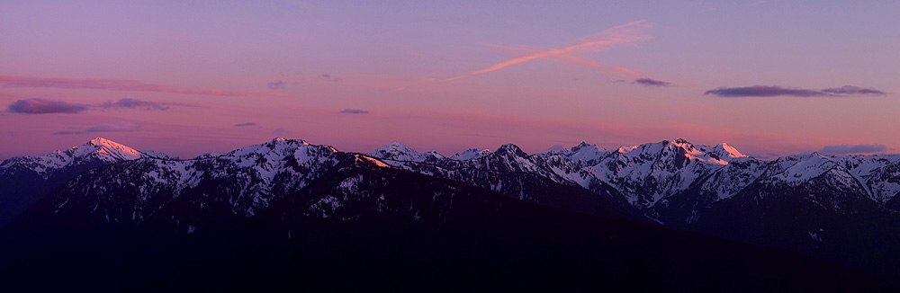
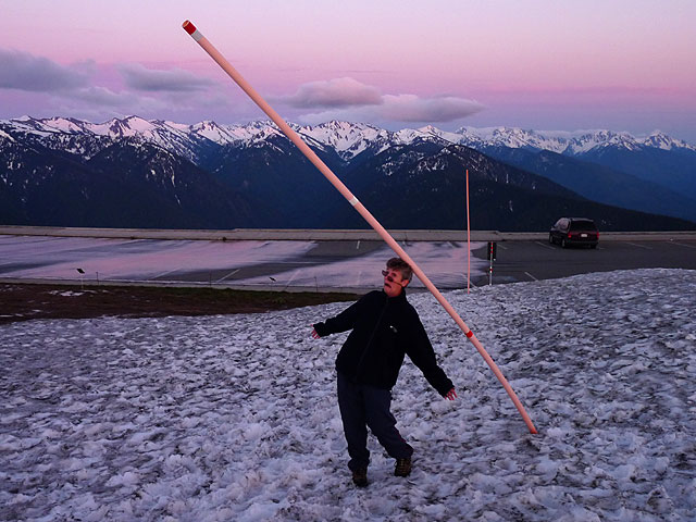
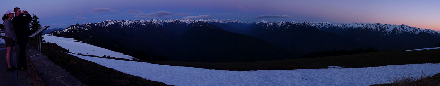
food pit stop in Port Angeles and then headed up the long and steep drive up to Hurricane Ridge for the sunset. 17 miles and over 5,000 ft elevation
difference. It was perfect weather. Lots of deer, great views over snow capped mountains and we even walked in the snow!
Video impressions - Olympic National Park