
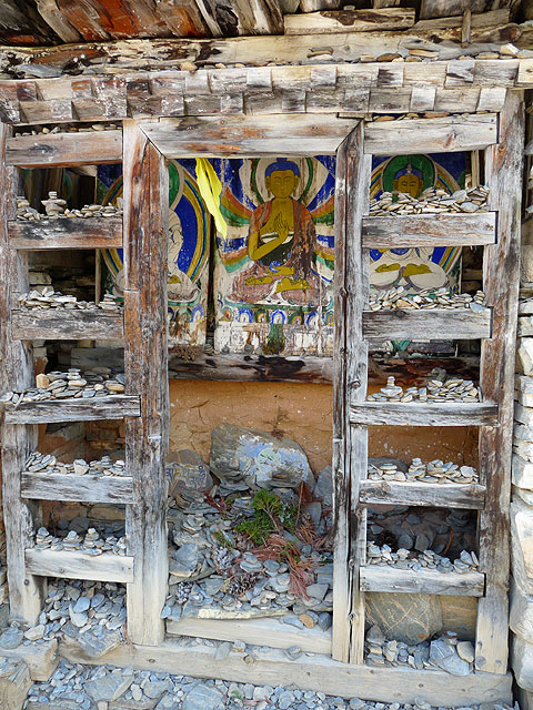
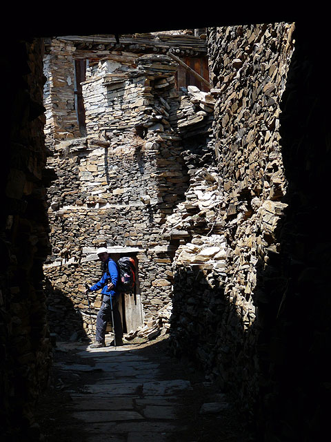
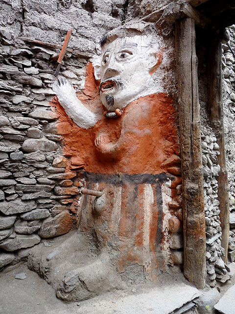
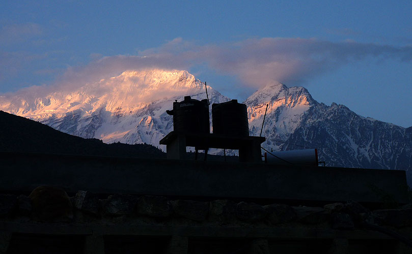
 Steintore
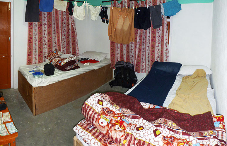
Click on a photo to enlarge it.
Steintore
|
Total kilometres: 204km
Total amount of ascent: 14,770m
Total amount of descent: 10,500m
Total hiking time: 99 hours (without breaks)
Our original plan had been to walk up to Annapurna Base Camp first. We will be going to Tibet afterwards which has an average altitude of 4,900m so trekking the Circuit last, where the highest pass is 5,416m, would mean we would be acclimatised for Tibet. Annapurna Base Camp only goes up to 4,130m and most of the trek is under 3,000m.
A good plan but the problem was that the TIMs card and ACAP fees for the area are only valid for a single entry. If we trekked to the Base Camp first we would then have to leave the area to get a bus to the start of the Annapurna Circuit and incur a second set of fees. For the two of us it would cost another $94 - a lot of money.
So we had to do the Circuit first and hope that our bodies would be so used to acclimatising that the process would happen quickly for the journey up into Tibet.
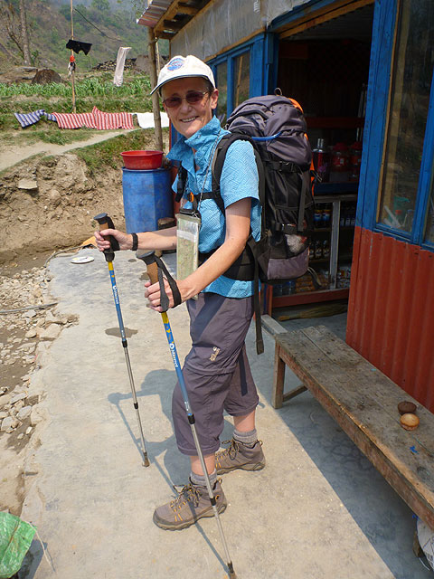
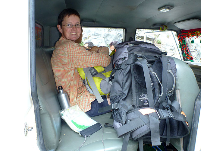
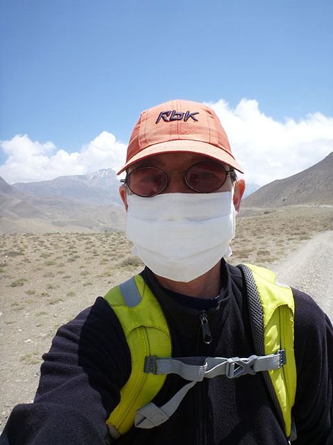
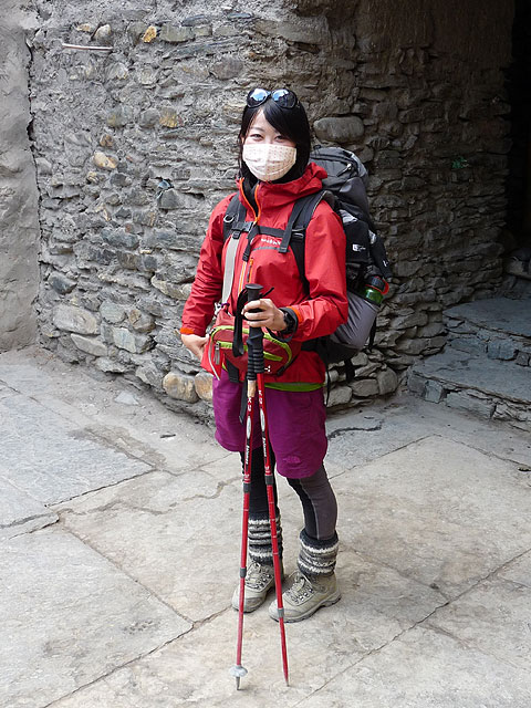
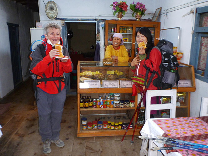
We made sure we had enough money with us for the trek because there would be no ATMs along the route and only the possibility of one in Jomsom if it happened to work when we got there! We had also cut down on the amount of things we were carrying and were going to try and avoid taking a porter. This meant that Kirsten would carry around 8kg and I would carry up to 5kg which included all our water.
We had space for up to 3 litres at any one time (3kg) so my backpack would change weight throughout the day depending on when we filled up. There are water stations dotted around the circuit to avoid all the plastic bottles - something we wanted to support. So we had a camel back pouch and a one litre Sigg bottle to double up as our hot water bottle for the nights. We would still be able to get a porter along the route if we needed one but we managed on our own this time.
We got an early taxi to Pokhara bus station and then a four hour bus ride to Besi Sahar, packed in like sardines. One passenger virtually sat on me for the final part of the journey!
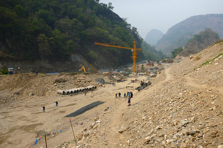
The Circuit route starts from Besi Sahar but we had heard from many sources that the first part of the walk is through road construction and is just a slog through the heat and the dust. It would be the same on the western side of the circuit where most people now only walk to Jomsom and finish there because of the road construction on that side.
We wanted to include trekking to the Base Camp and so just wanted to walk the best parts of the Circuit. The agent we had used for the TIMs cards etc. had told us that we could get a Jeep from Besi Sahar up to Chame. This would cut out the construction and road walking and get us to the best part of the trek. He said it would cost around $7 each but when we got to Besi Sahar, we found out it would cost $12 each for only half the journey to a town called Chamje. Then we'd have to walk for 1.5 hours to get around a landslide area and get another Jeep to Chame for $12 each.
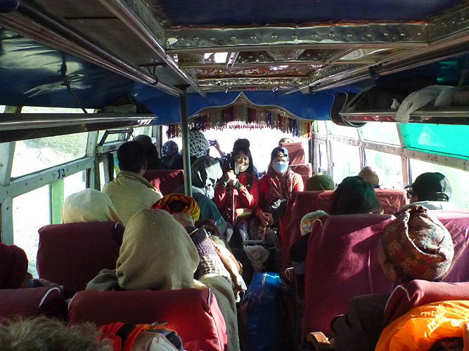
We tried to haggle with a driver but he wouldn't come down with the price which was over three times more than the agent had said. We thought this was just a scam for the tourists and refused to pay. We found out that there is a bus for part of the way to a place called Ngadi.
We spent an hour checking in with our TIMs and ACAP cards and trying to find out info. We only just had time for a cold drink when the bus arrived and we got thrown around on a very bumpy, 1.5 hour ride.
A young kid came around collecting money from the passengers and the locals were paying 60 Rupees but he told us it would be 300 Rupees each. We refused to pay but then there was some kind of argument between the kid and two adult male passengers and one of the men actually punched the kid in the face!
The argument was all in Nepalese but my guess is that the two men said if he is charging the two tourists so much then they don't have to pay. He may well have accused the kid of pocketing the extra "tourist" money. Of course, I have no idea what the argument was about but it was definitely started off by our tourist price and us refusing to pay it.
We got to Ngadi, the final stop for the bus and the argument over the cost of our journey continued. They said we had to pay more because we are different. We argued that we still only take up one seat just like everyone else. We'd seen three Chinese construction workers on the bus who didn't pay at all. In the end we paid 100 Rupees each but they weren't happy about losing their extra income. Well tough, they'll have to learn not to treat tourists like that.
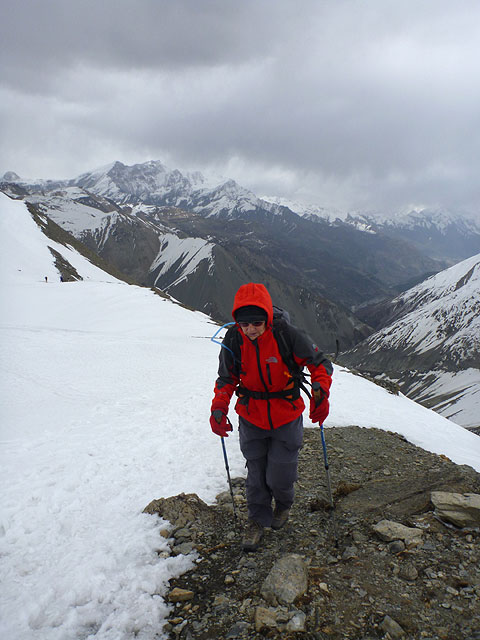
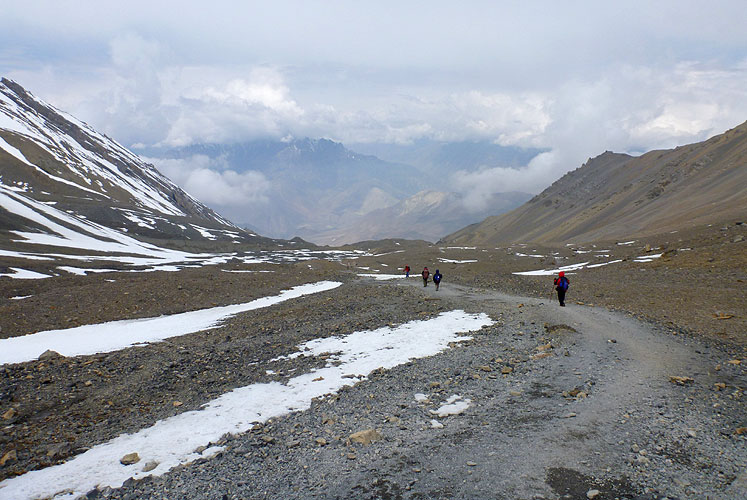
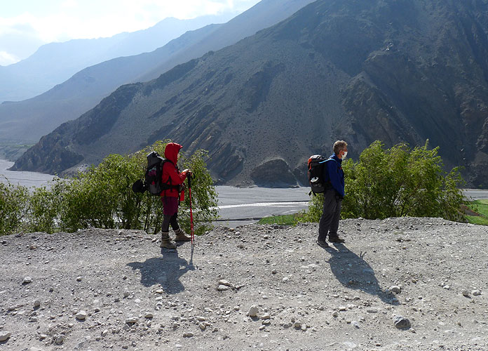
Not a good start to our trekking especially seeing as we'd been arguing out in the sun and it was 36°C in the shade! The first part of the walk was along a dusty diversion past a large construction area being carried out by the Chinese, and then along a dusty road before the path turned off steeply uphill to Bahundanda (1310m) where we stayed for the first night.
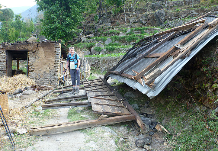
We'd only walked for two hours but it was already 4pm and it had been quite an eventful day. It got even more eventful when the wind picked up just after we'd had a shower and a hefty storm blew in taking a few roofs with it!!
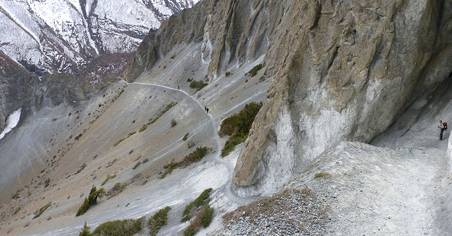
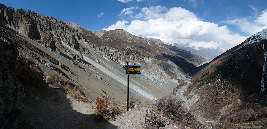
The next day the path took us steeply downhill back to the dusty road which we had to walk along for most of the time. Steep switchbacks took us up to Chamje where all the Jeeps stopped. Supposedly, there would only be another 1.5 hour walk to get to the other side of the landslide where the Jeeps started up again. The 1.5 hours must be based on marathon runners as it would take 4 hours at a normal trekking pace.
But we weren't going to make it that day anyway, so we stopped in a very good guest house in Tal (1700m), which was about half way. We'd already been walking for 7 hours and the heat was getting to us. Kirsten washed her shorts and ended up laundering our money aswell - our purse was in her pocket! I laid out all the bills and they managed to dry without any damage!
We met a group of 5 Danish guys staying at the same place. They hadn't realised that there are no ATMs and had only $100 between them in cash. They were going to try and last on what they had but it wasn't going to be easy. Kirsten's money laundering episode wasn't going to help them either!Hope they managed it.
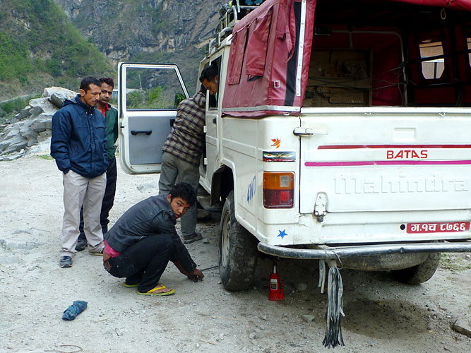
The next morning we walked for almost 2 hours and passed road construction going on across the other side of the valley. That must be where the landslide was although it looked like road repairs to us. We crossed a bridge and walked up to where the Jeeps start again. We stopped one approaching us and asked. It would cost us $12 each and the pick up point was just behind us at a restaurant we'd just passed.
We decided to get in and save ourselves almost 2 days of dusty road walking, but they had to change a flat tyre first before we could set off! We had to stop later on to change another flat tyre! Not surprising - there were at least 24 people in our Jeep - 8 in the front where we were, 8 in the back and 8 on top of the roof!! We saw lots of hikers taking photos of our Jeep!
It was one hell of a ride! It was a good job we were squashed inside because it stopped us from being thrown around - the road was very rough. It was more like an off-road drive up into the hills and mountains, constantly changing into 4 wheel drive and going through deep water, past waterfalls, up switchbacks and through some very muddy stretches.
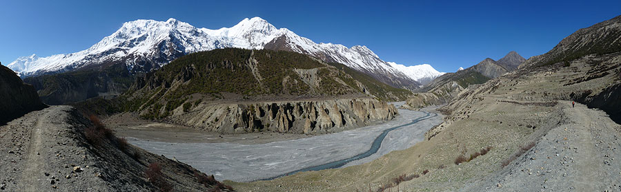
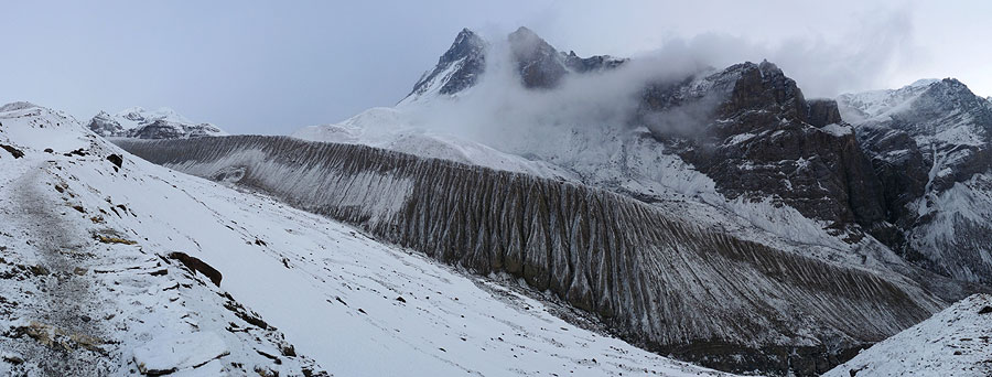
It took 3 hours and was worth the $12 each. We were dropped off at the end of Chame and found a little place to get samosas for lunch. Then we walked uphill, past an overhang, across a rickety bridge and steeply uphill. We walked past the soaring Paungda Danda rock face - an awesome testament to the power of glacial erosion.
It had been quite a day and we found a place in Dhukur Pokhari (3240m) to stay but it was extremely cold overnight and it poured with rain in the evening - water leaked inside our room and wet my backpack! So we had to find places to hang everything up to dry.
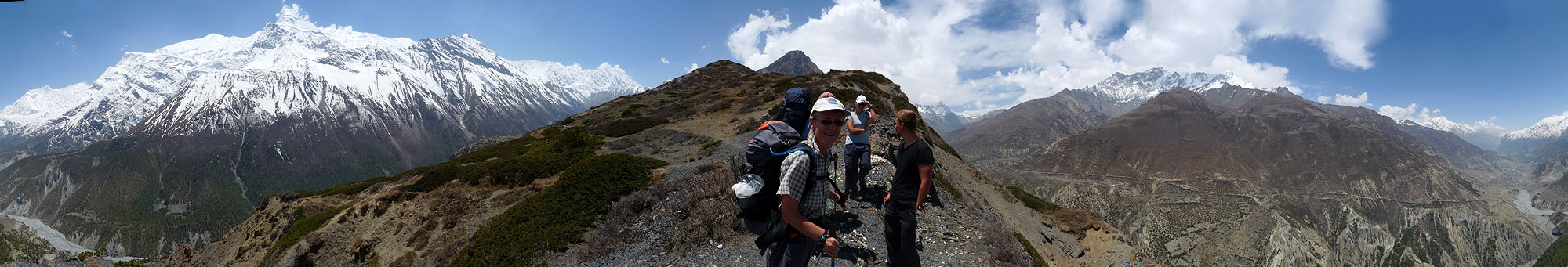
It went below freezing overnight and we had to be careful not to slip on the frost covered wooden floor going to the toilet the next morning. After breakfast we set off along a nice walk to Lower Pisang, over a bridge and through pine trees past Emerald Lake. But then it was an extremely steep walk uphill along numerous switchbacks to Ghyaru where we stopped for lunch.
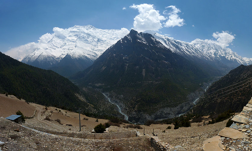
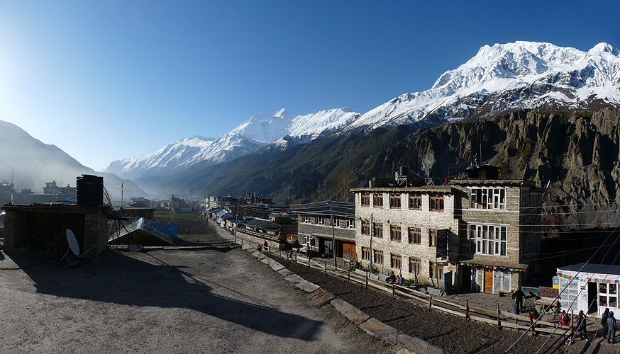
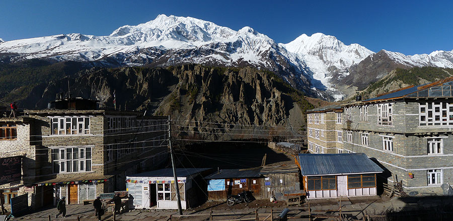
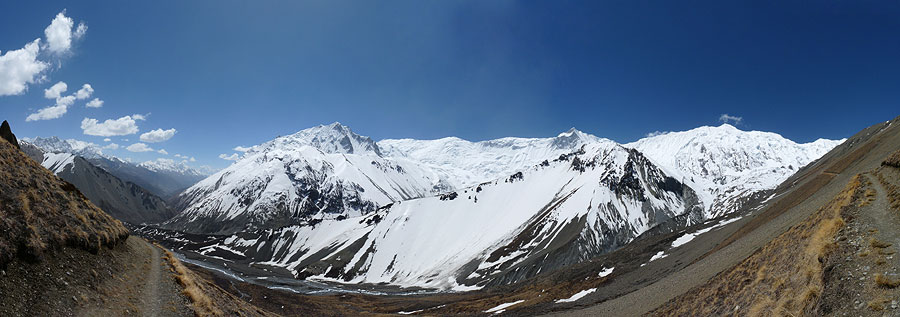
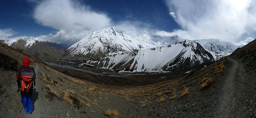
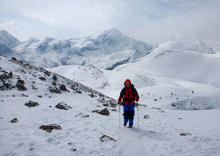
The walk in the afternoon was also really nice but extremely windy. We had great views of the Annapurna range - numbers 2, 3 and 4 plus Gangapurna (7937m, 7555m, 7525m, and 7454m respectively) - which is why we had chosen this alternative high route rather than walking along the road to Manang. It was certainly worth the steep climb up.
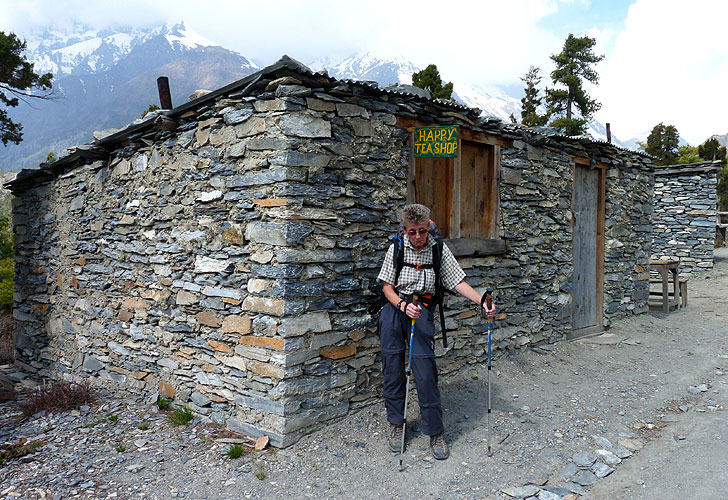
I tried to do some washing in Ngawal (3680m) but it started raining just after I'd hung everything out so I had to move it into our room and hope it would dry by the morning. The temperature dropped and it was bitterly cold in the evening. We sat in the crowded dining room that didn't have a fire. Instead they brought us a pot with hot coals in it which wasn't really enough but better than nothing!
We spoke to a Dutch guy about Tilicho Lake which is not part of the Circuit but a side trip of three days. It is supposed to be wonderful so we had it on our plan. He had a very good guide book with him which warned about the treacherously thin path across the area with a 1000 ft drop down a very steep slope! Not for the feint hearted! We decided we would stop in Manang and ask about the conditions before we took the detour.
The wet washing and treacherous path weren't the only problems for the day - Kirsten found four hairs in her Dhal Bhat!! Yeuk!
It only took us 3 hours to get to Manang (3540m) where we went to the ACAP office and found out that people were walking to Tilicho Lake every day and, whilst the path is narrow, there shouldn't be a problem. As we set off from the town it started raining so we decided to stay for the night.
A very good decision because we ended up being able to watch a replay of Bayern's Champions League semi final match from a few days before, a live Premier League match and watched a film "Into the Wild" based on a true story of a young man who wanted to live out in the wilderness in Alaska and inadvertently poisoned himself. An extremely sad and depressing film and perhaps not the right thing to watch seeing as we were about to go out into the wilderness, surrounded by snow and mountains!! At least the food that evening didn't have any negative affect on us!
Annapurna Trail - Part 1: Pokhara to Tilicho Base Camp
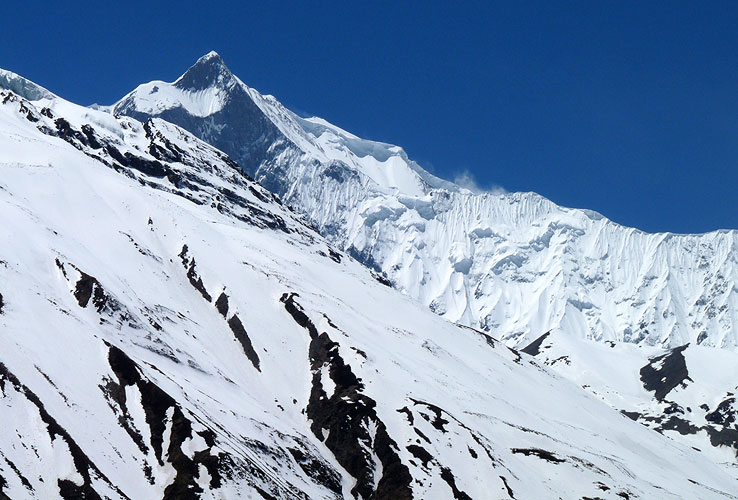
Our trek out to Tilicho Lake ended up being one of the highlights of the whole trip. It was a tough walk with lots of ups and downs but the landslide area was spectacular - huge rocks on top of fantastic formations. And the views ... well, what can I say. The Himalayas are unique! There is something about walking in an area surrounded by snow covered mountains that is just SO majestic that it takes your breath away.
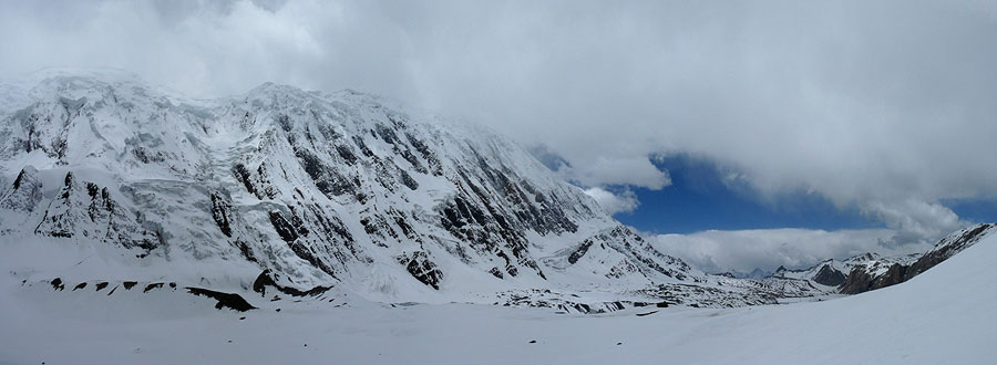
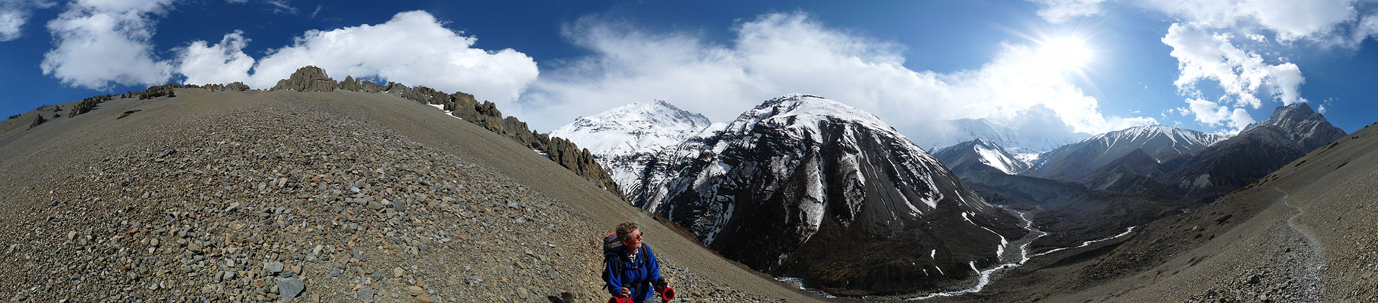 Arrival at Tilicho Base Camp (4150m) - 360° Panorama
(move mouse over panorama and click on the arrows)
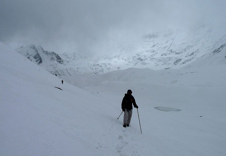
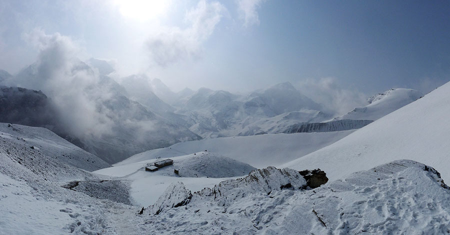
The walk up to the lake goes over 5000m, all uphill, extremely steep at times along zig zags and then through deep snow to get to the frozen lake. We met a lot of people coming the other way who had started off very early in the morning because they would be walking out of the valley the same day. We started off later because we knew we would be staying at Tilicho Base Camp (4150m) for two nights.
What we didn't realise was that there would be a big storm coming, just as we got up to the highest point! We saw blacks clouds coming in and thought we would have enough time to get to the lake. But the storm came in a lot quicker than we thought. We were only about 100m away from the lake and I shouted to Kirsten that we had to turn around. I had already fallen in the snow three times - we were trying to keep to the deep footprints made by others in the snow and avoid falling down the slope which lead directly down into a smaller and semi frozen lake - but it was extremely slippery and treacherous. We were trying to rush so that we could get a photo and turn around before the storm caught up with us when we were exposed and up at over 5000m!
Kirsten managed to get the photo but the black clouds had already reached us and it had started snowing. Not good. We certainly felt the threat and went a lot quicker than we should have done, back through the snow and past a number of trickier places along the route where we both slipped in the snow and Kirsten slid into me!. We got back down to the switchbacks and stopped to put on our waterproof trousers believing that the storm would continue for at least another hour or so.
We misjudged that aswell!! Within the next 10 minutes the storm had past over us and the sun came out! Beautiful weather again and we'd just rushed down from the top! Well, we certainly weren't going to go back up again so we took our time and really enjoyed the walk back.
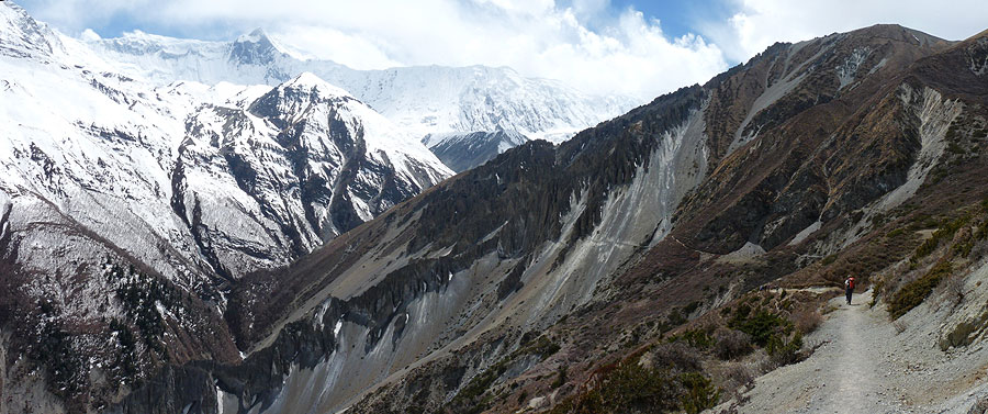
The walk back out of the Tilicho Valley seemed harder and a lot steeper on the way back. We set off early at 7am and walked with 5 others. We got back across the landslide area without any problems and then took a very steep path, first uphill and then downhill, to rejoin the main circuit and continue up towards the highest point.
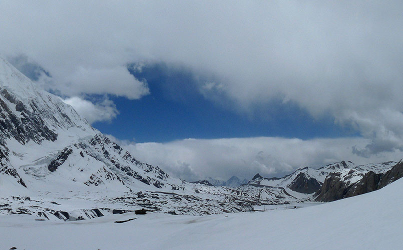
 View from Upper Kangsar - 360° Panorama
(move mouse over panorama and click on the arrows)
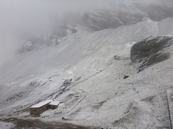
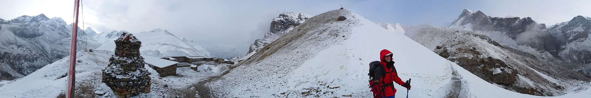
We stayed at Ledar (4200m) that night after 7.5 hours of walking. It went below freezing overnight and then we had a relatively short day to get up to High Camp at 4850m. It is the last place to stay before Thorung La Pass and, as there is only one lodge, they have a monopoly and it was the worst one we had stayed in.
The lodge manager was extremely unfriendly and gave us a bad room. After trying to arrange the beds so that we had better padding for our backs we realised that the door wouldn't close properly. One gust of wind would blow it open - not what we wanted in the middle of the night! It took us four tries and 90 minutes to get a room that was more or less acceptable but still not much better.
By that time we were really cold, it was already below freezing and there was no fire in the communal dining room. Then it started snowing and we wondered whether we would be able to get over the pass the next day. Staying in this place for a second night was definitely not what we wanted!!
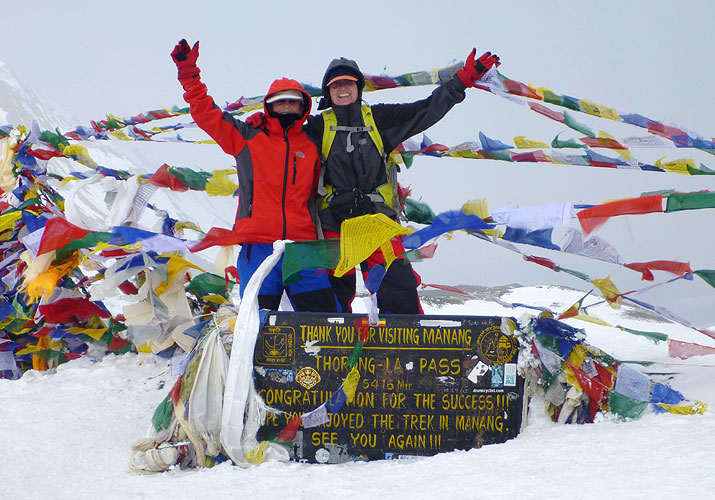
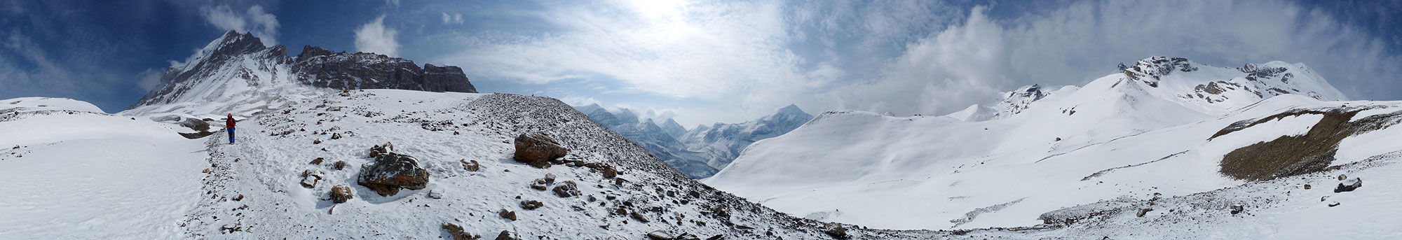
Our alarm went off at 5am the next morning. Neither of us had slept very well and we knew it would be a long day. We would have to get up to the pass at 5416m, an ascent of 600m, and then down to the next town Muktinath, a descent of 1650m.
It was bitterly cold and treacherous underfoot from the frozen ice and snow. At 5am there were already people getting ready to leave. There were very low, dark clouds and it was starting to snow again. We waited to see if the weather would get better but everyone else had left by 6am, including groups with their guides who had obviously decided it was safe enough to continue.
When we saw some blue sky coming through we decided to leave and set off at 6-30am. There was lots of snow and it was extremely slippery trying to walk through the ice and keep to other peoples deep tracks in the snow. There were some steep up and downs along the trail and it started snowing again.
 Leaving High Camp (4850m) - 360° Panorama
(move mouse over panorama and click on the arrows)
In the beginning we had seen people ahead of us and, later, we saw people behind us who had started off lower down. But there was one point where we got up to a crest and for a moment we couldn't see the trail. Only a small amount of snow had fallen, yet it had already covered the tracks and one of the marker poles had been blown over into the snow. Not a good feeling but surprisingly we managed to get to the top in 3 hours - we had expected it to take us 4 to 5 hours!
 On the way to Thorung La Pass (5416m) - 360° Panorama
(move mouse over panorama and click on the arrows)
There was a tea house at the top of the pass - unbelievable but true. We stopped for about 15 minutes to take photos and then started the long walk down. There was more snow and ice to walk through and then the path was gravel and dust! It was not an easy walk at all but we managed to do it in far less time than expected.
Annapurna Trail - Part 2: Tilicho Lakes to Thorung La Pass
We had a wonderful hot shower in Muktinath (3800m) to get rid of all the grime and dust and had a laugh with other trekkers over dinner.
For the last part of the Circuit we decided to walk to Kagbeni (2810m) and then get a bus to Jomsom where we would stay overnight. Then we'd get the bus down to Tatopani to start the trek to Annapurna Base Camp.
We had a relaxing breakfast and then walked the 10km to Kagbeni (2810m). The first part was relatively easy along a dusty road but then we encountered gale force winds and got sand blasted. The wind was so strong we could hardly walk forwards. We knew about the strong wind but we had thought it would be after Kagbeni - wrong!
We were also wrong about getting a bus from Kagbeni to Jomsom. First, we were told there were no buses, then that there was a Jeep at 5pm that we might be able to get. We had at least 3 hours to wait. So we went back out to the main road along with Yu, a Japanese trekker we had seen along the route several times, and tried flagging down Jeeps for 2 hours. There were only two and only one of them stopped but refused to take us even thought there was plenty of space!
We walked back to the town and met a family from Pokhara who were also trying to get to Jomsom and were also having difficulty with the bus and Jeep system here. At least it wasn't just us! Anyway, we finally managed to get onto a bus and it was one hell of a bus ride - we got thrown around as we went down steep stretches, over extremely rough terrain and through deep water. The bus was really old and it's a wonder it didn't fall apart en route!
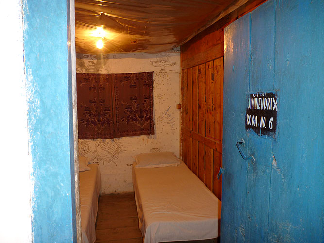
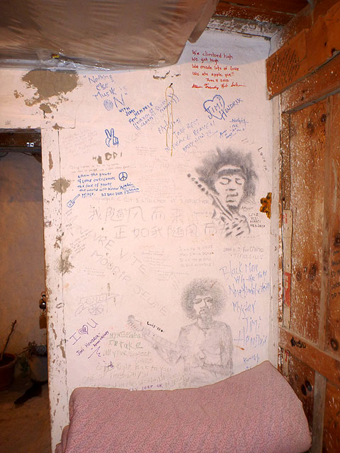
We found a teahouse in Jomsom (2713m) and Yu stayed in the room where Jimi Hendrix stayed in 1967. Yu didn't know who Jimi Hendrix was but then she's only 28 so it was well before her time.
We tried to get a Jeep to Tatopani (1189m) the next day but ended up on another extremely bumpy bus ride that lasted 5 hours! At one point we got bounced 4 times in quick succession and I cracked my elbow on a window knob. Despite wearing a fleece jacket it took the skin off and was bleeding. By the time we got to a teahouse for the night, my elbow was badly swollen!
It started raining and the roof in our room leaked!!! I wasted 90 minutes trying to get another room but we ended up staying in the same one as it was better than the others! So I had to sleep around the wet patch and bucket on my bed!
Annapurna Trail - Part 3: Mukthinath back to Pokhara